#1289. Kiwi Glimpses - Part II.
Part I glimpsed the north part of the South Island; this Part looks at the south part of the North Island. These are the two main islands of New Zealand, which actually has over 700 islands, most of them tiny; we’ll see a couple of small ones in this post.
We stayed mostly in three locales on the North Island: Wellington, the beginning and the end of our holiday; Paraparaumu, on the Kapiti coast northwest of Wellington; and New Plymouth, just north of Mt. Taranaki (Mt. Egmont), on the Tasman Sea which separates New Zealand from Australia.
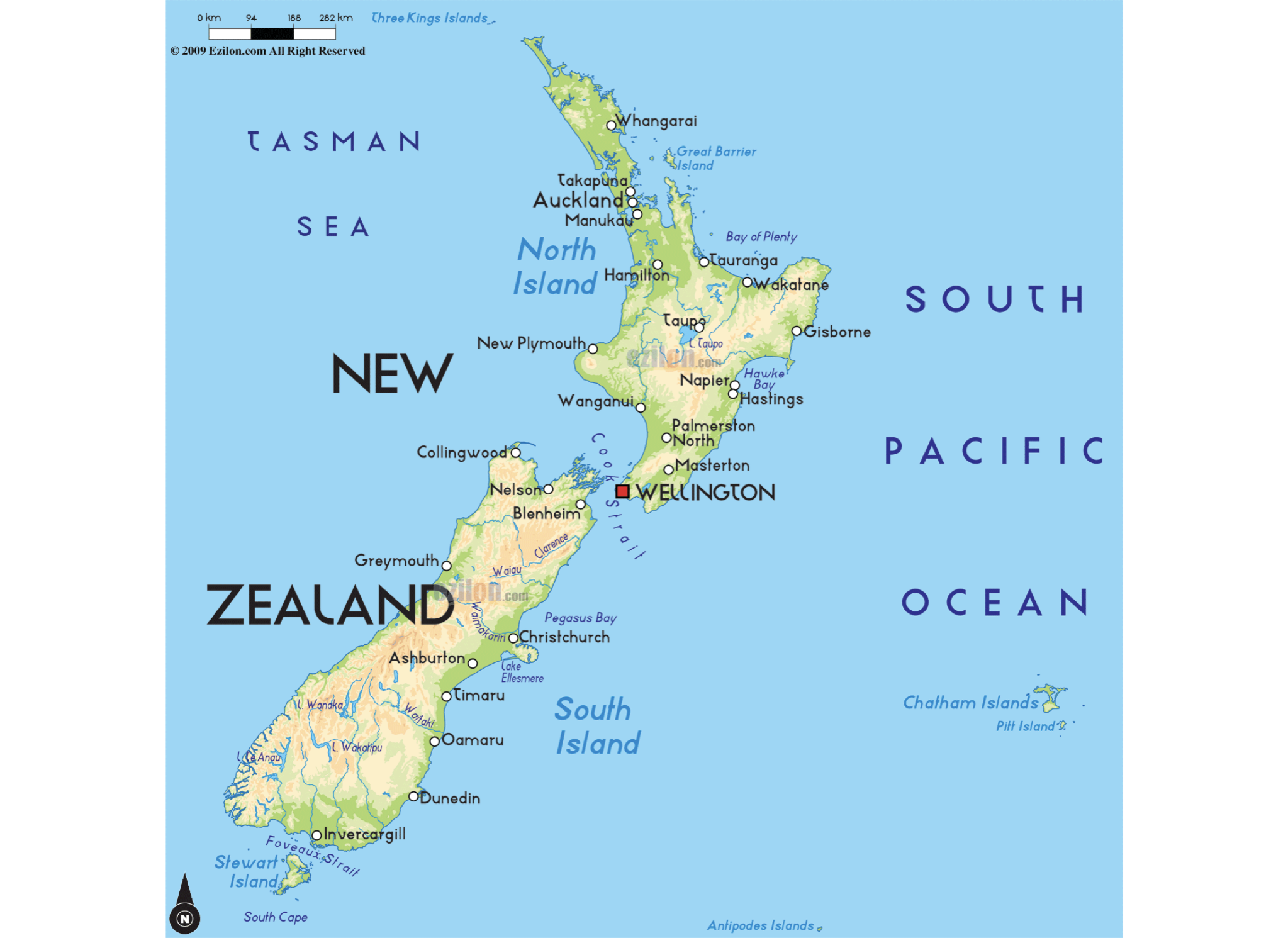
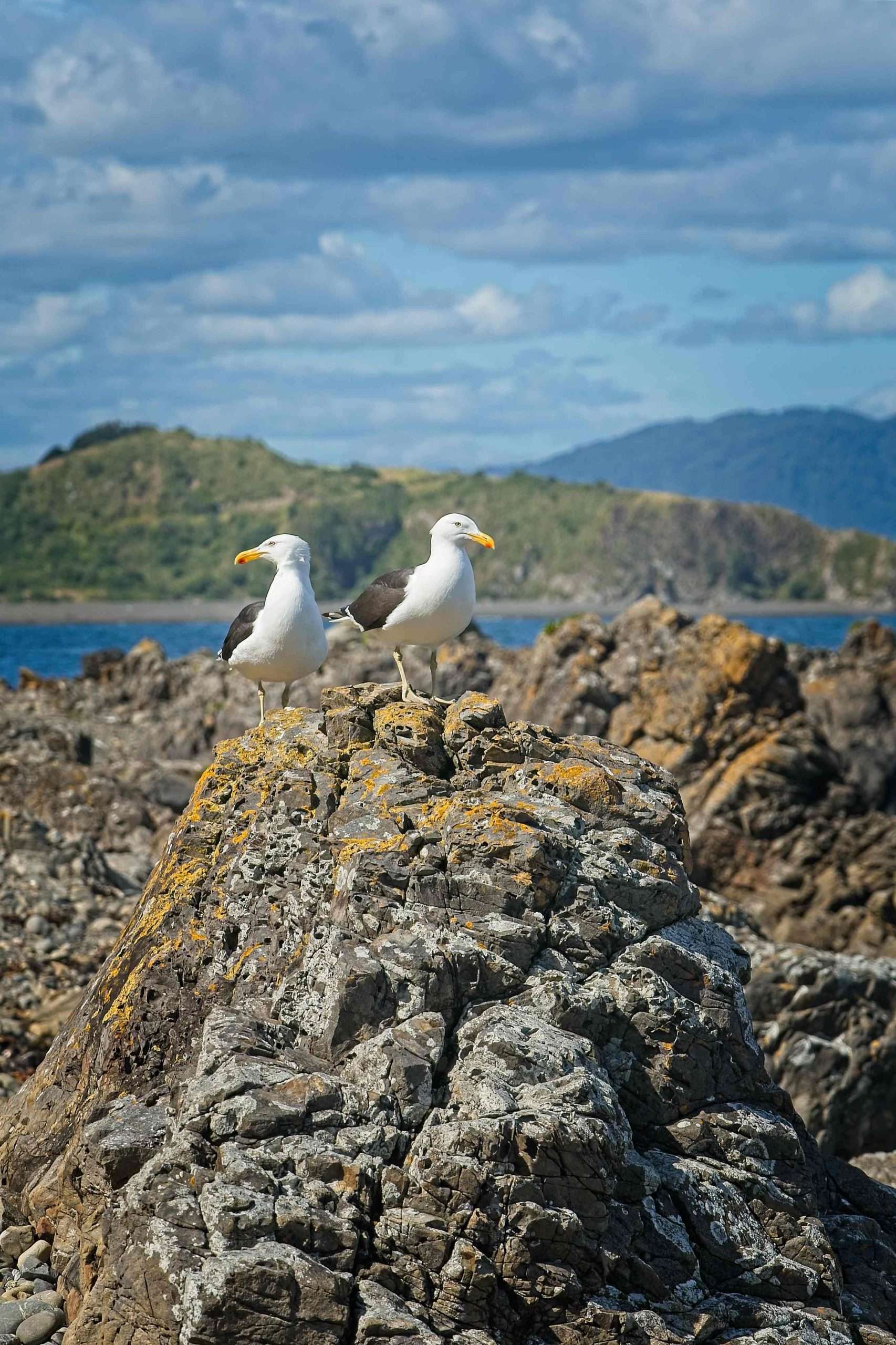
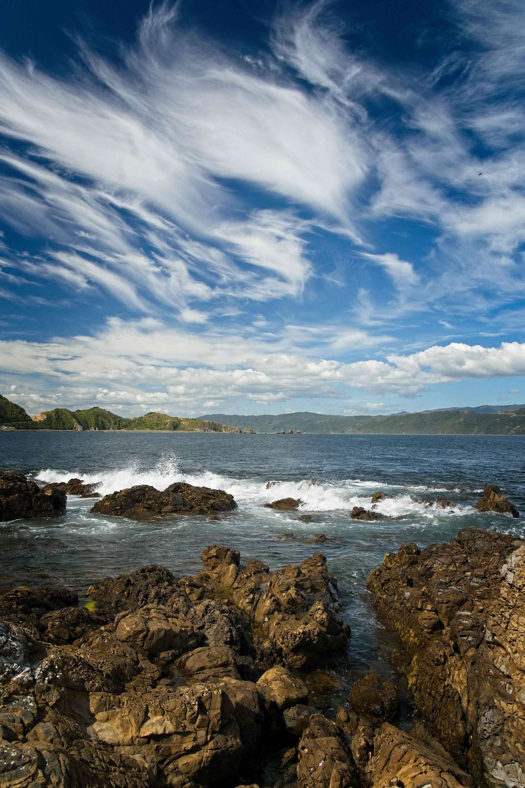
Initially we stayed in Breaker Bay. It’s right on the channel into Wellington harbor (or harbour, if you prefer), so we saw a number of passing ships. As always there were lots of lovely beach views, with plenty of gulls to keep us company.
There was even a “clothing optional” beach, which we stumbled on during a ramble, but of course I can’t share any closeups here.
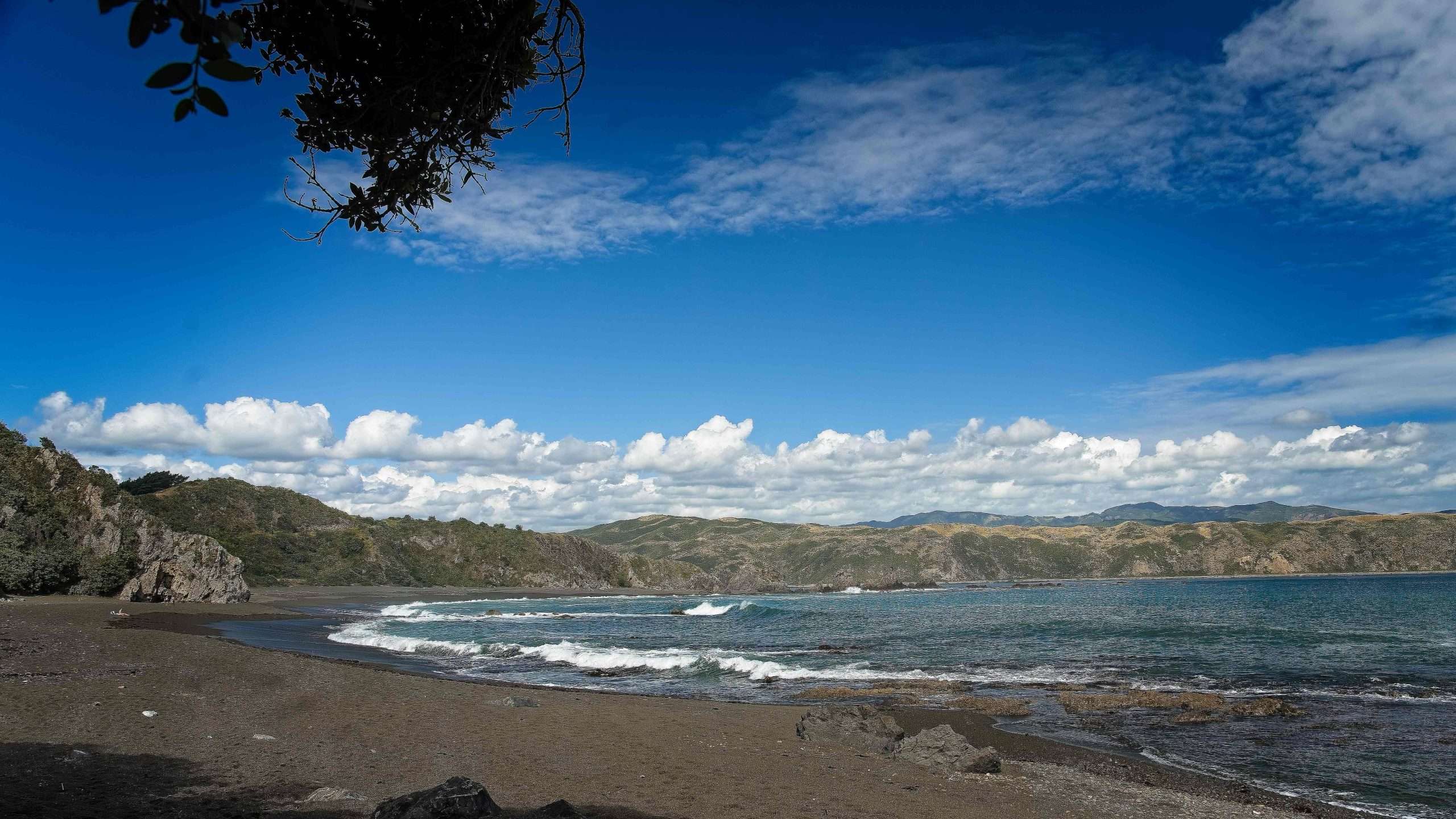
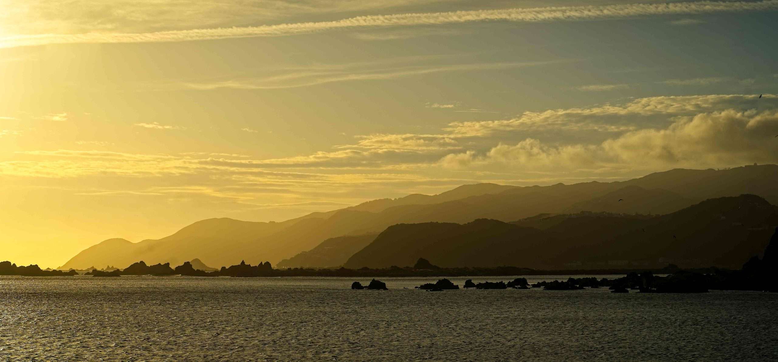
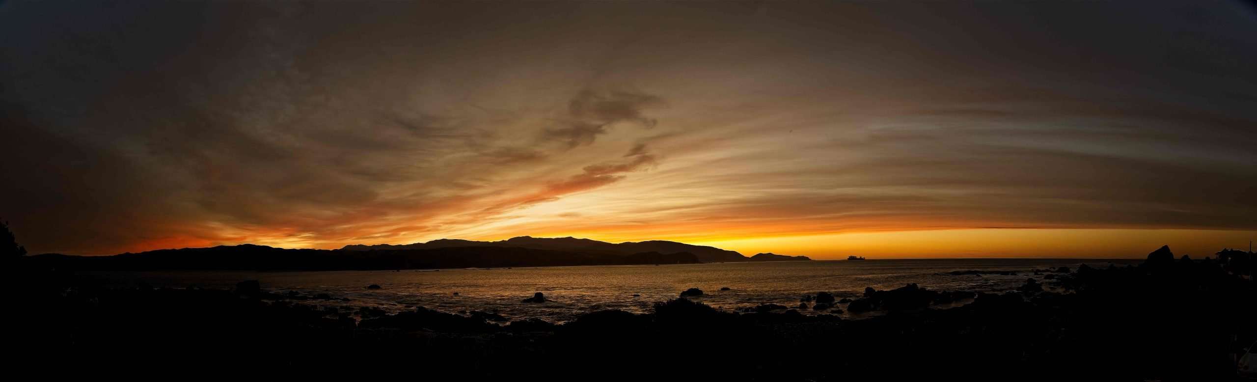
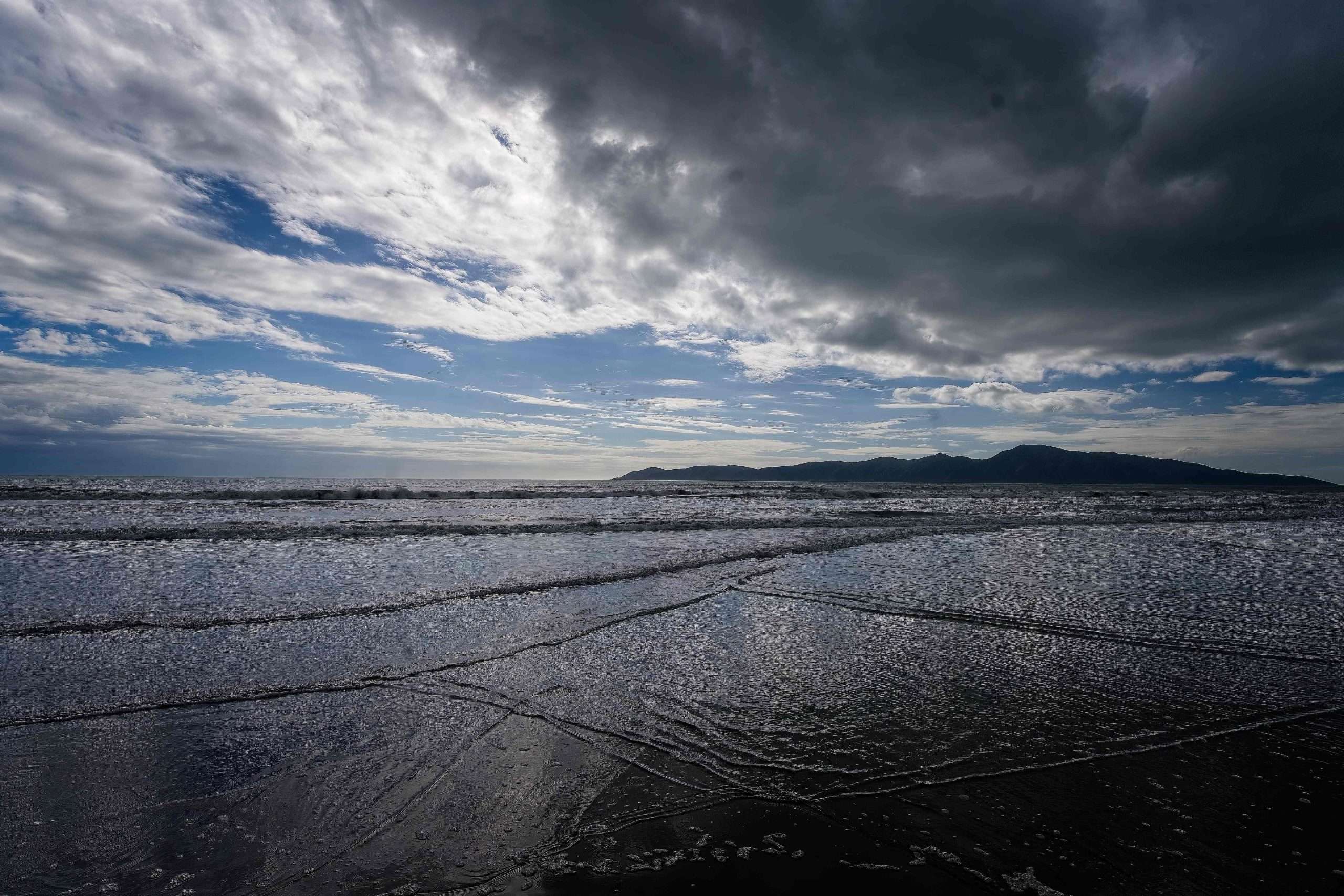
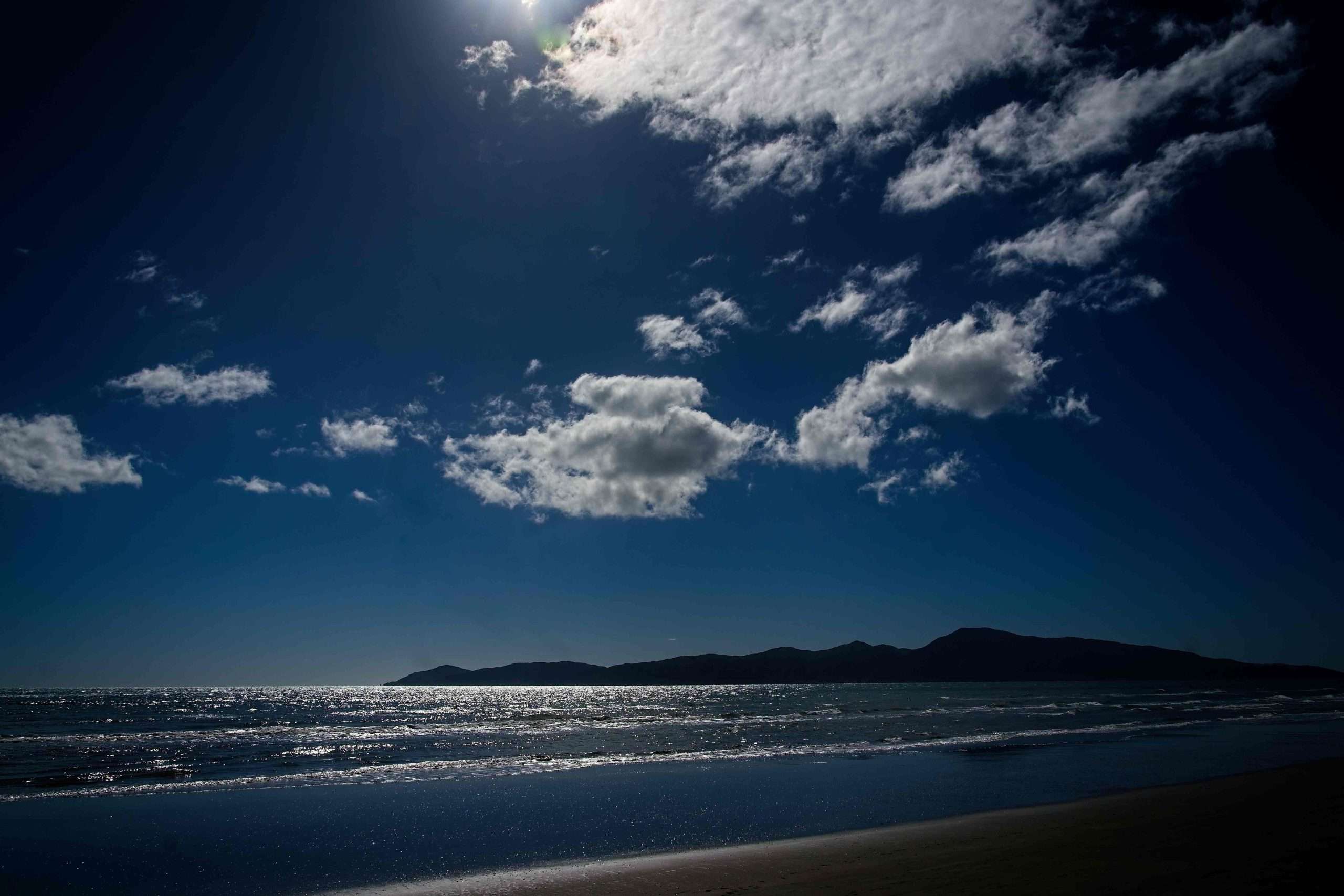
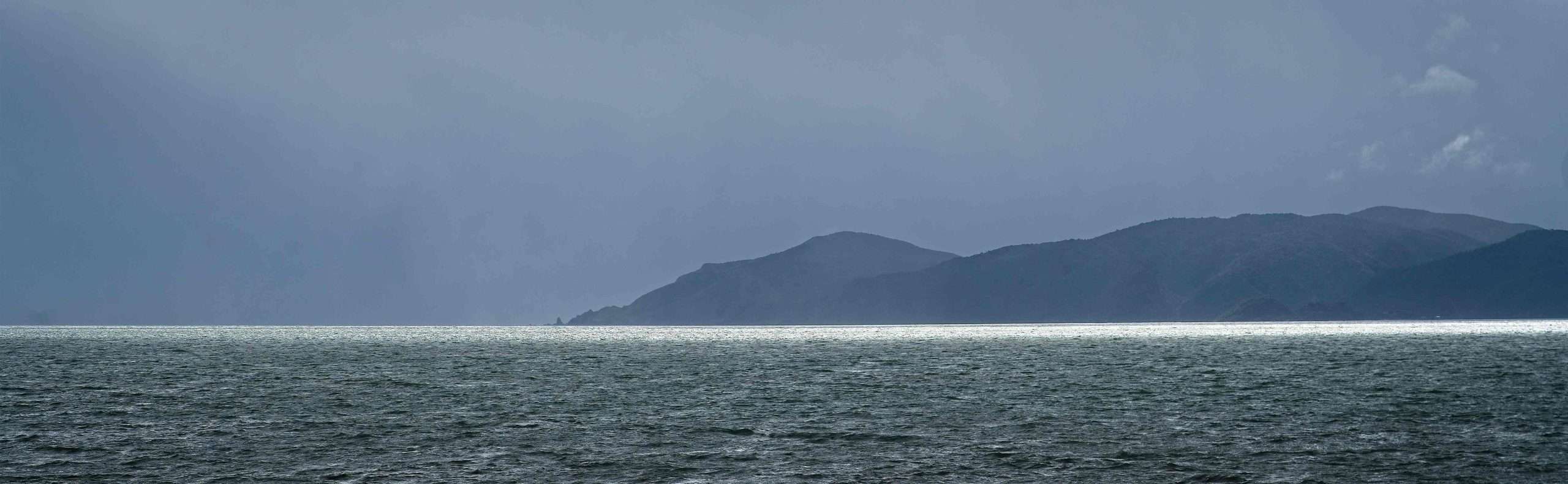
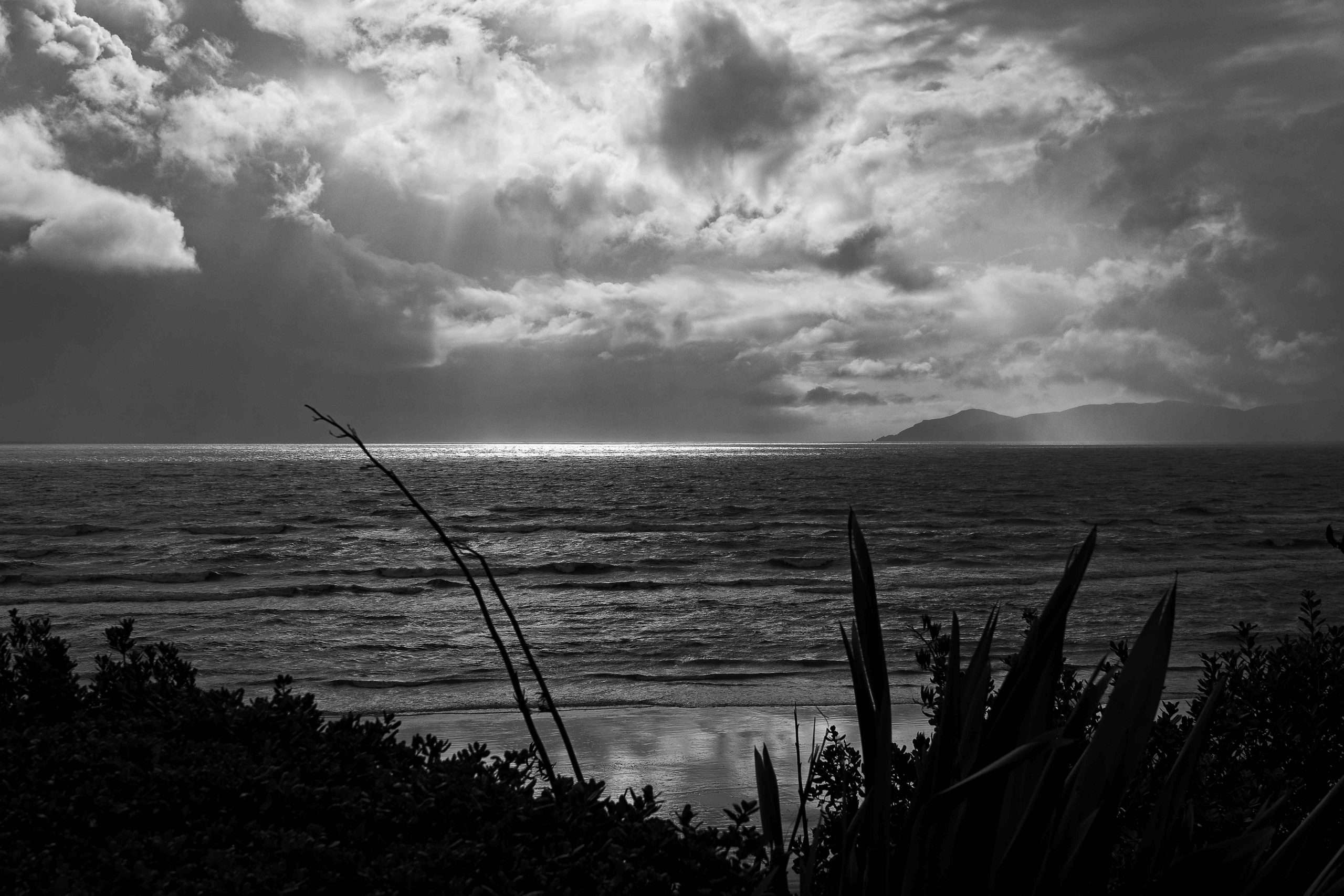
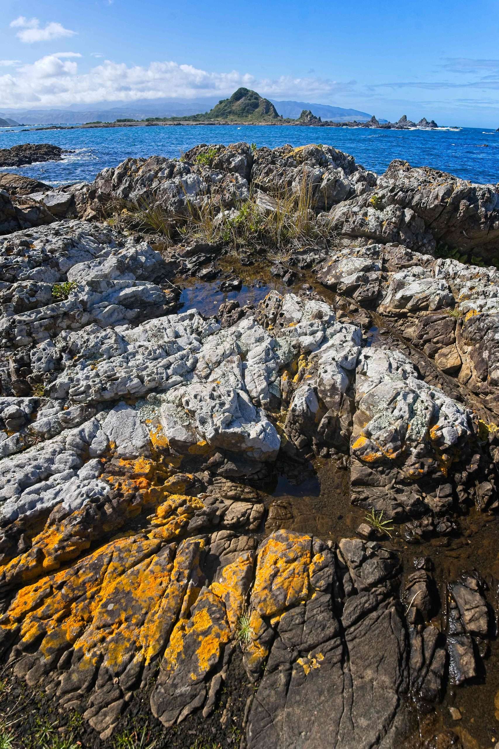
Paraparaumu is about an hour’s drive from Wellington on a new expressway. It’s a favorite commuting, vacation and retirement spot for Wellingtonians. Our small studio rental unit above the beach had striking views of Kapiti Island, about 5 km offshore, and we never tired of viewing it in all kinds of weather.
We had visited New Plymouth years earlier, but this visit was occasioned by our daughter participating in a mass Oxfam walk. Her group (four women ranging in age up to the 60s) raised funds for Oxfam by walking 100 km in under 24 hours! I’m still astonished that this is even possible (certainly not by me). We had a spacious apartment not far from the beach, and so we spent considerable time there.
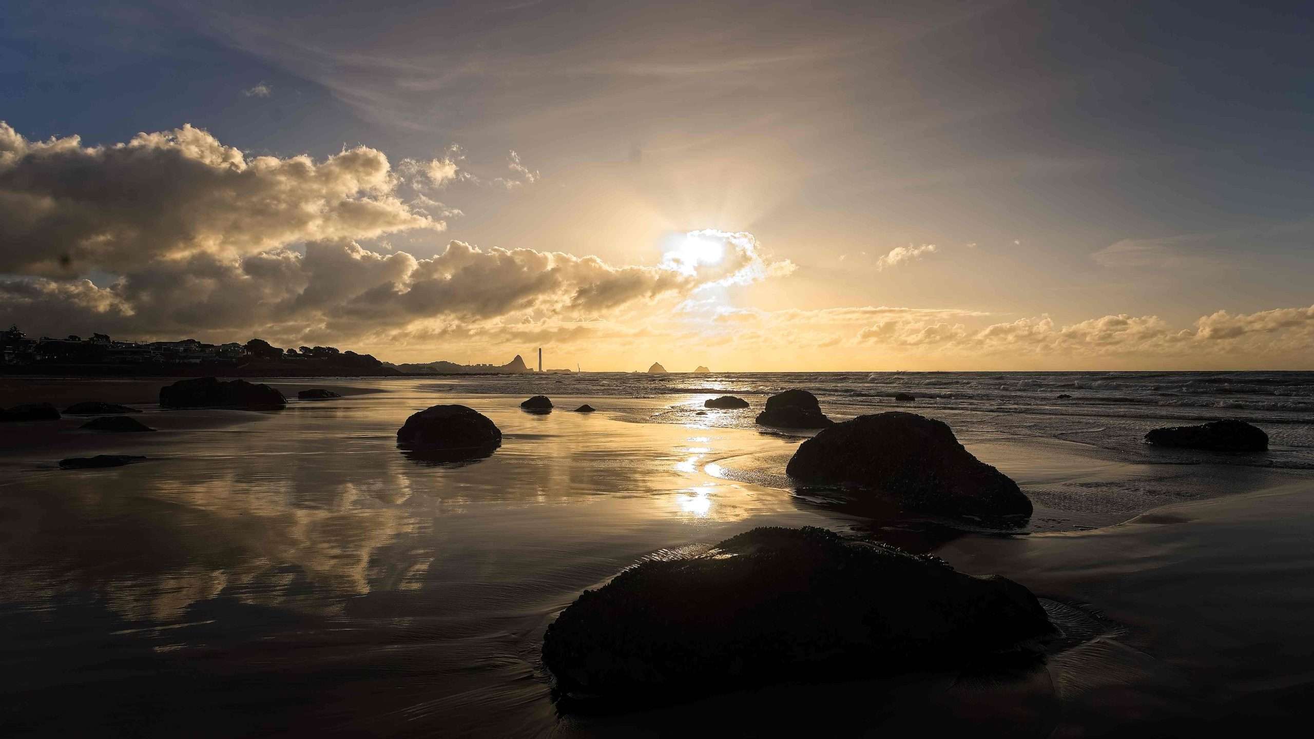
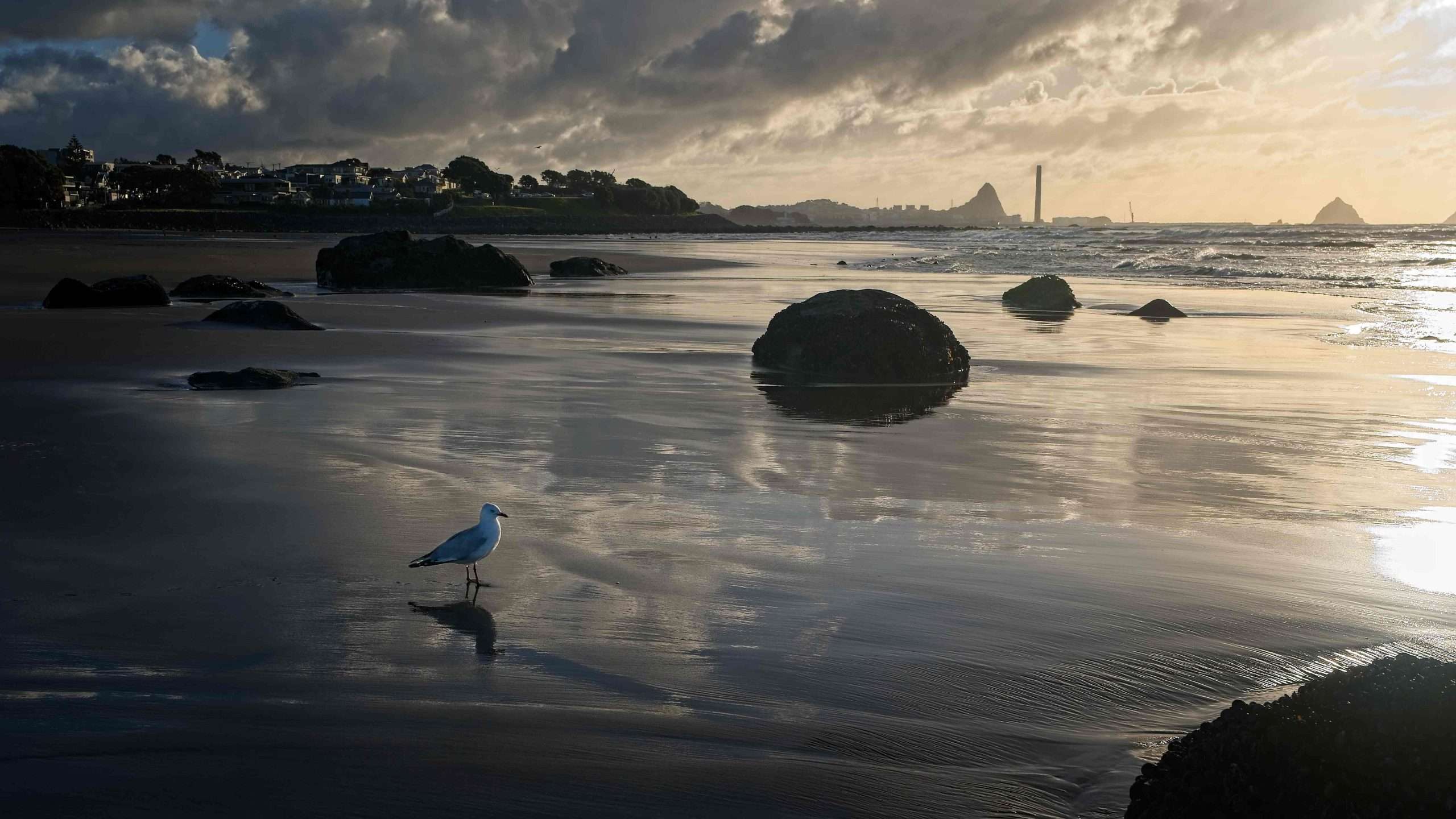
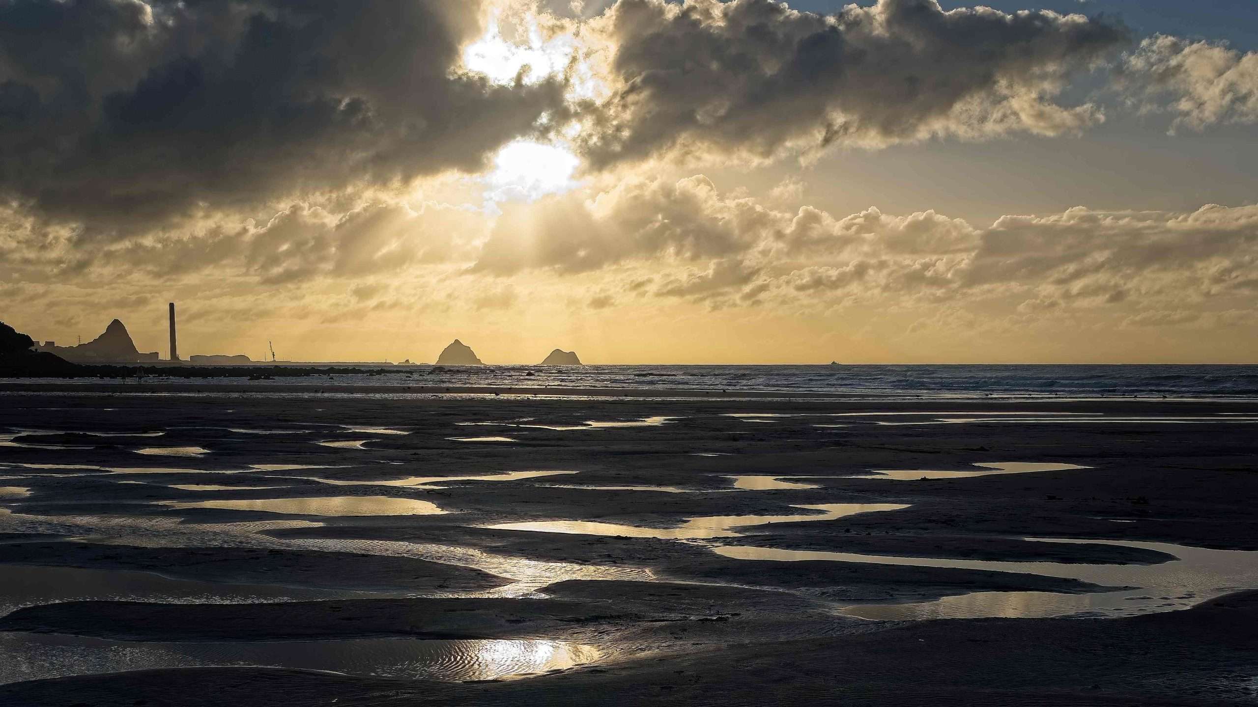
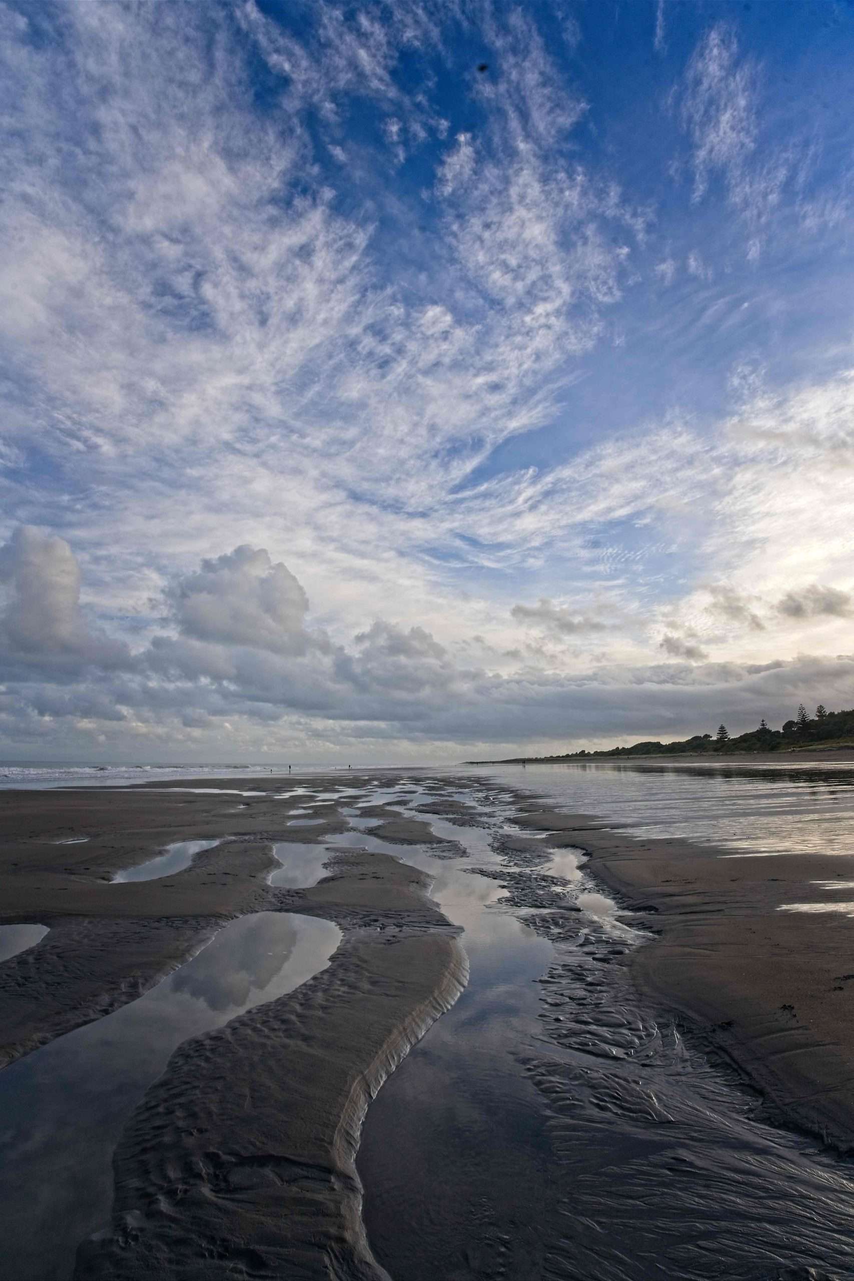
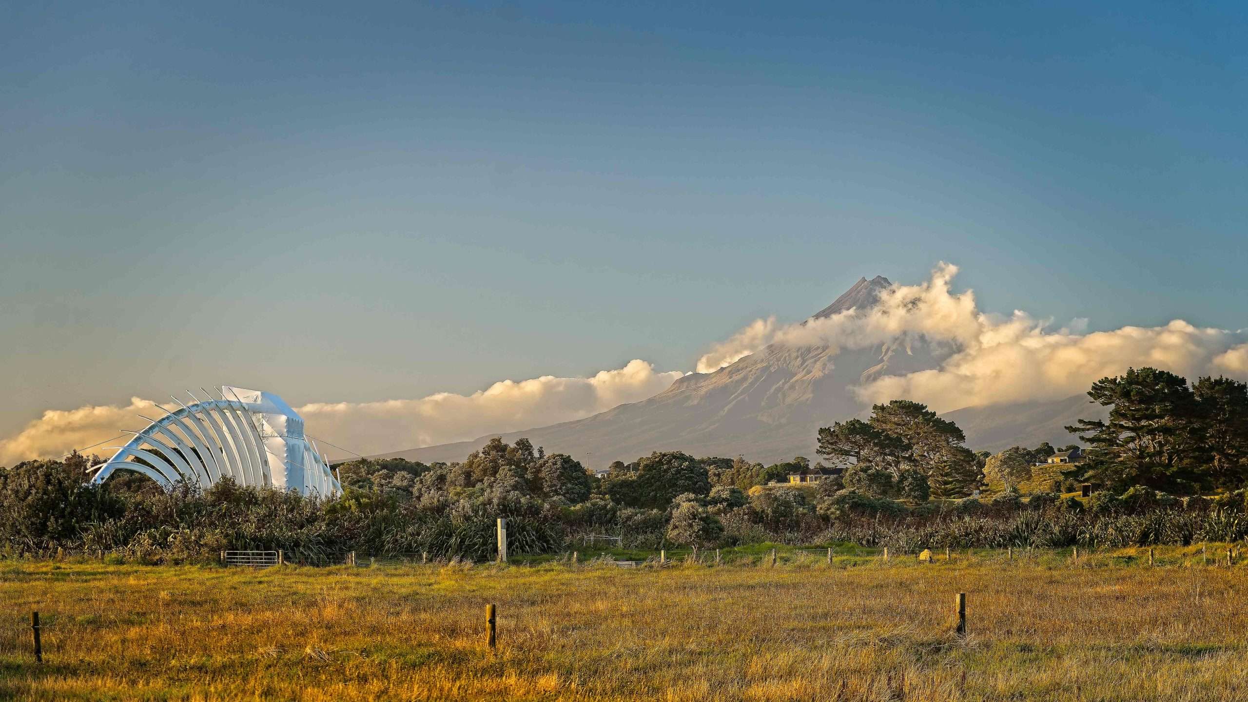
We also visited the iconic Te Rewa Rewa Bridge. It was under repair and so I couldn’t get a proper picture of Mt. Taranaki through its arches, but I did see the mountain cloaked in clouds one dawn. Mt. Taranaki, or Taranaki Maunga in Maori, is a symmetrical cone volcano, like Mt. Fuji, and the second-highest peak in NZ; it’s dormant now, last active in mid-19th century, last major eruption in the 18th century. Historically, major eruptions occur about every 500 years, so I guess we were safe enough.
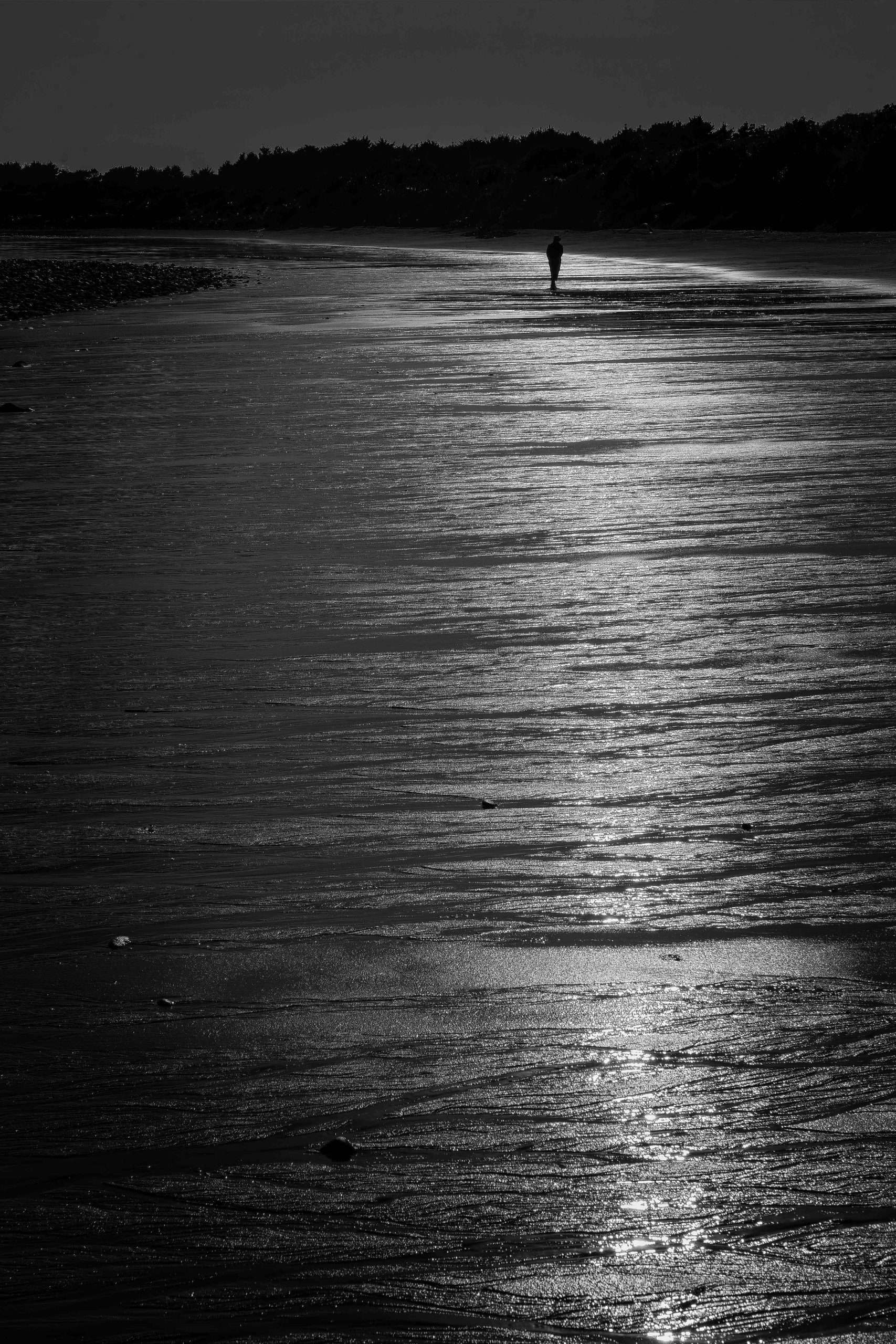
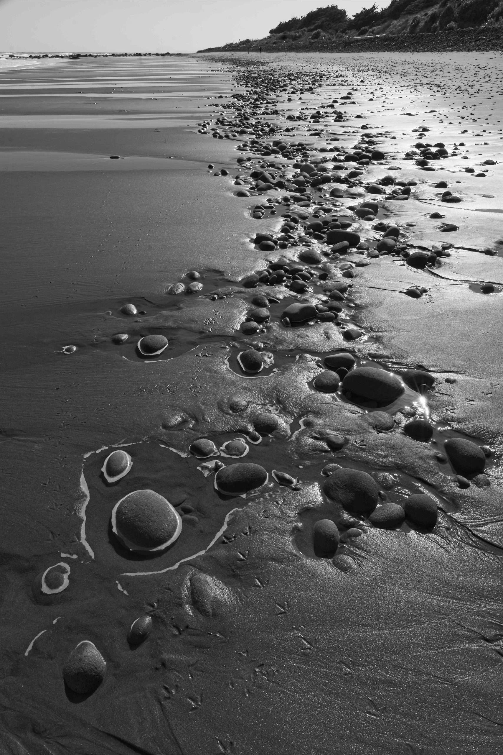
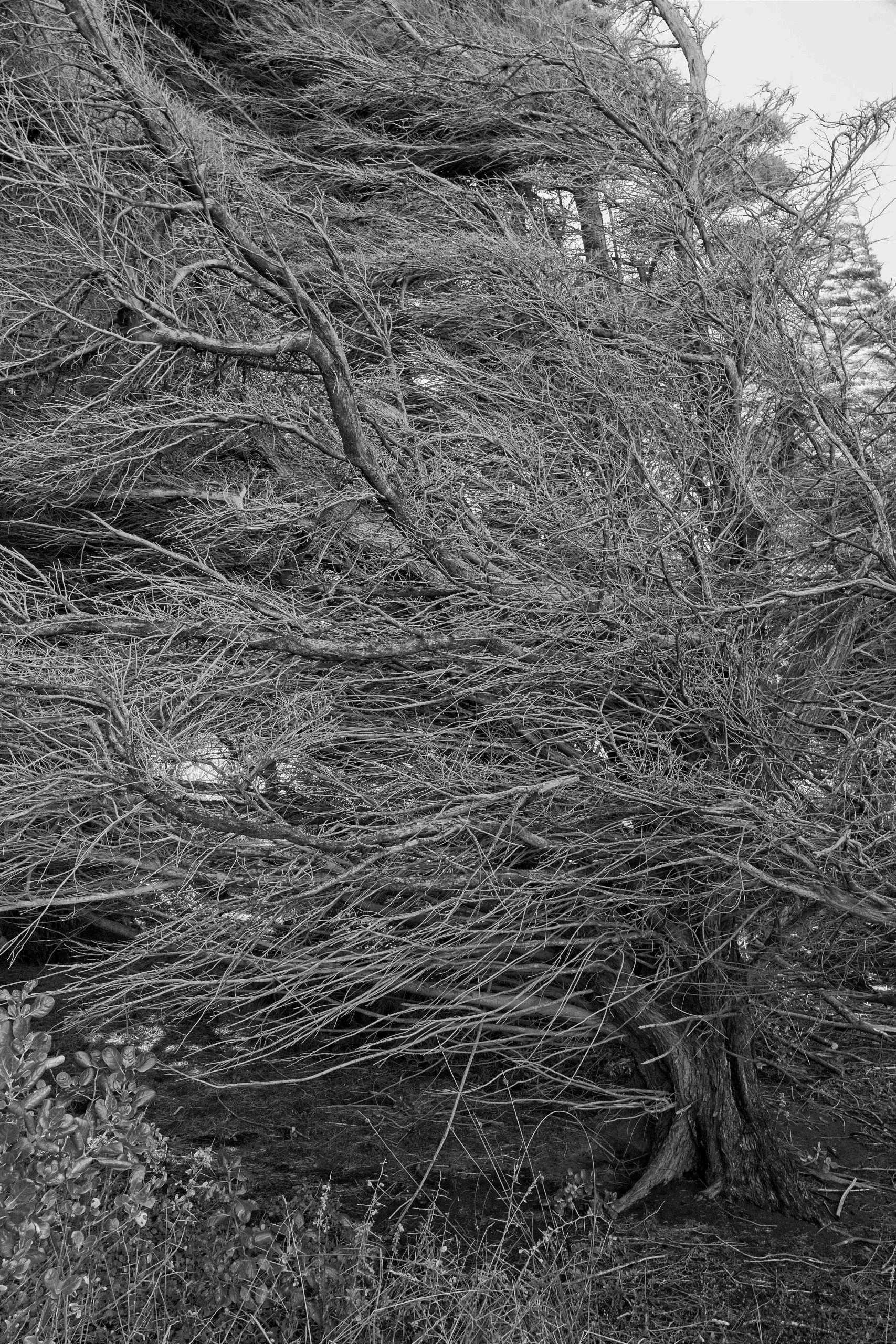
We continued on the beach north from Te Rewa Rewa, and the light favored some black and white images.
Upon returning to Wellington, we stayed in two places: One was our daughter’s vacant house in Island Bay, which she is trying to sell (a major drawback I would think are the 72 steps up from the street to her front door, but I have been assured this is not a problem for sturdy Wellingtonians). This is the bay for which the town is named.
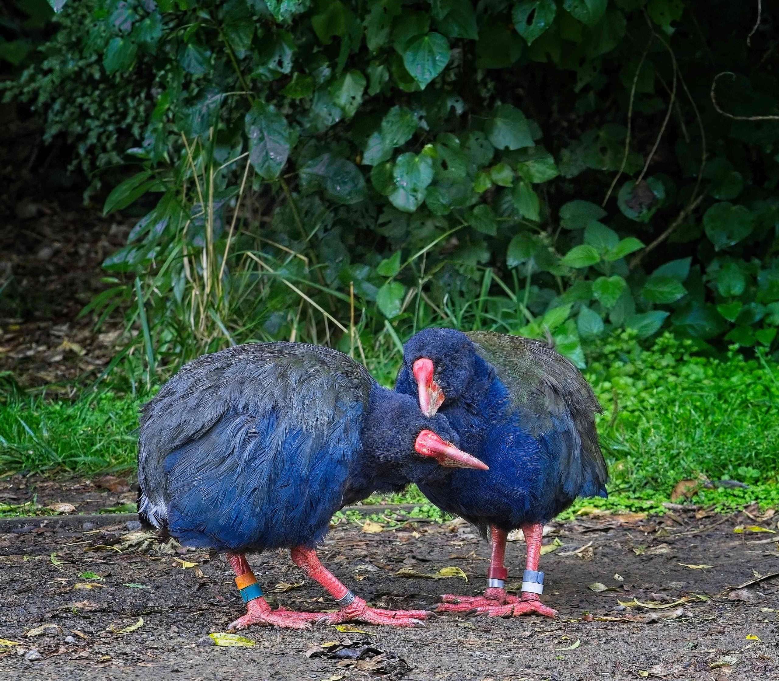
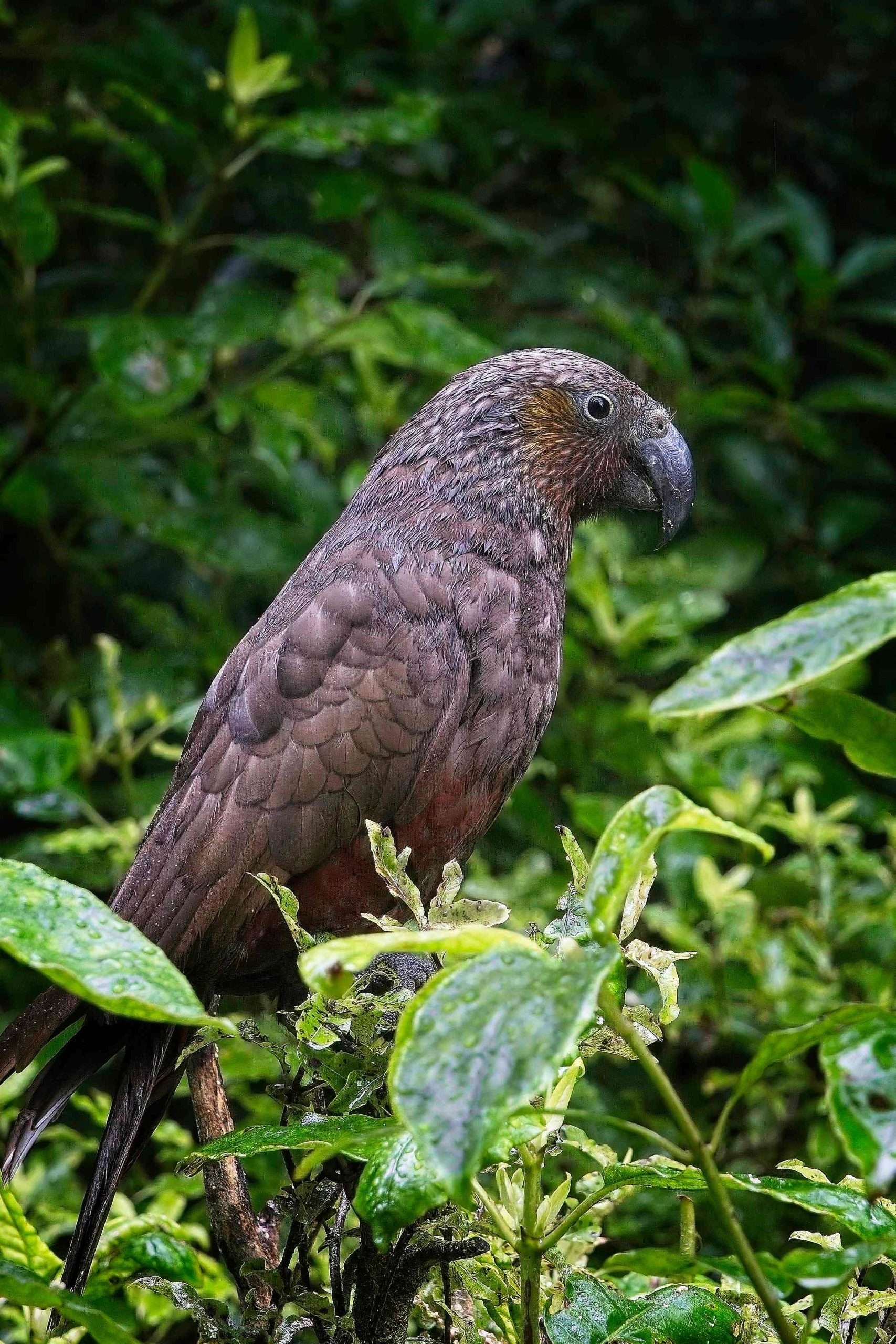
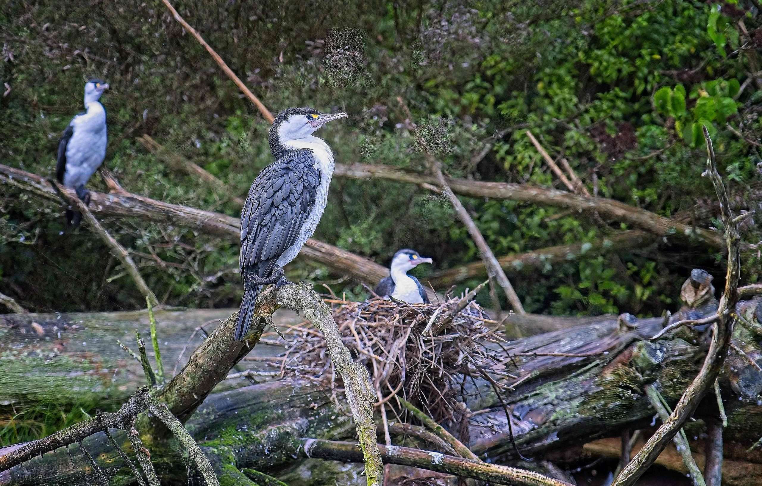
In Wellington, I spent four hours in Zealandia with a group of photographers (a gift from my daughter). Zealandia is described as “the world’s first fully-fenced urban ecosanctuary, with an extraordinary 500-year vision to restore a Wellington valley’s forest and freshwater ecosystems as closely as possible to their pre-human state.” It’s a wonderland of native bush and birds; here are three kinds: pukekos (a purple/blue rail), kakas (a parrot), and pied shags (a cormorant).
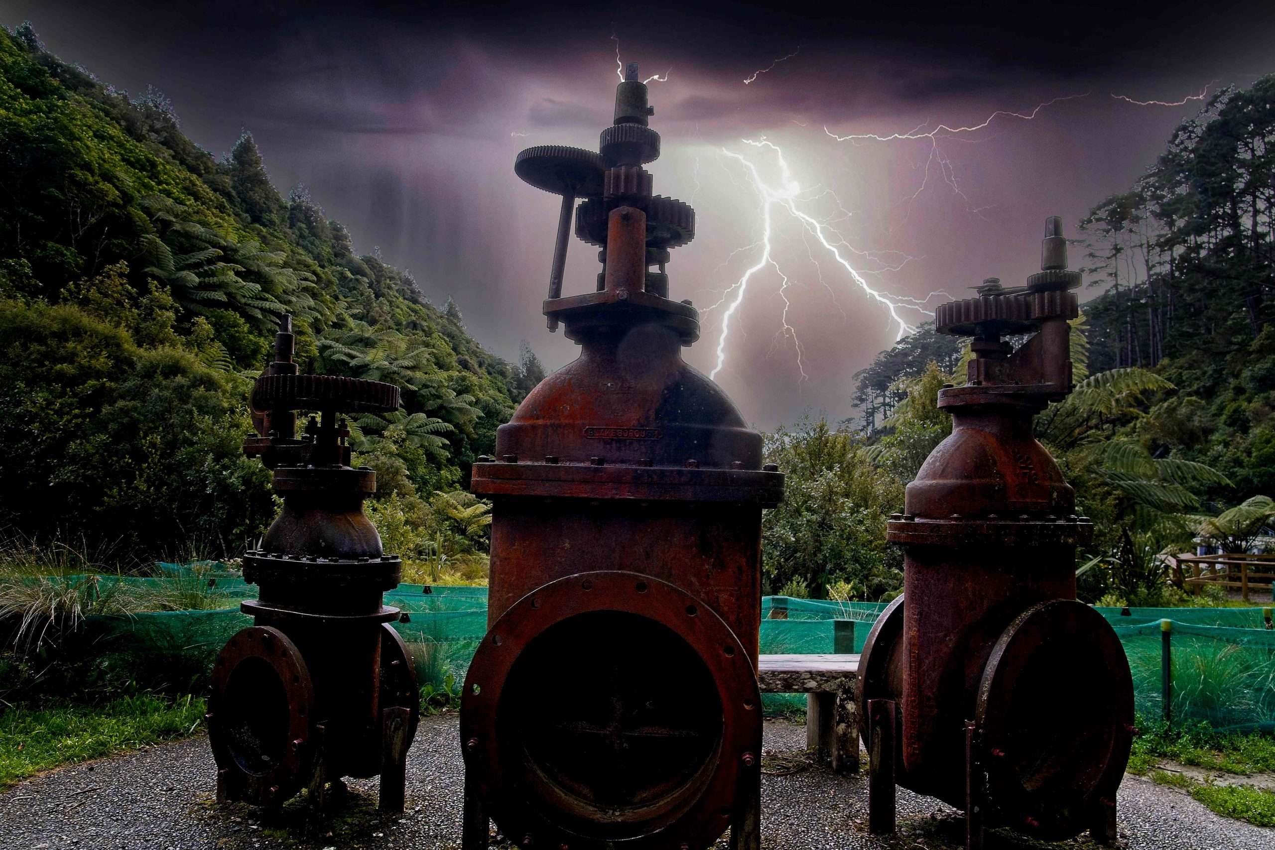
I also spied some old water valves at Zealandia, relics of the technological past. Adding further fuel to the AI bonfire, I introduced a dramatic sky.
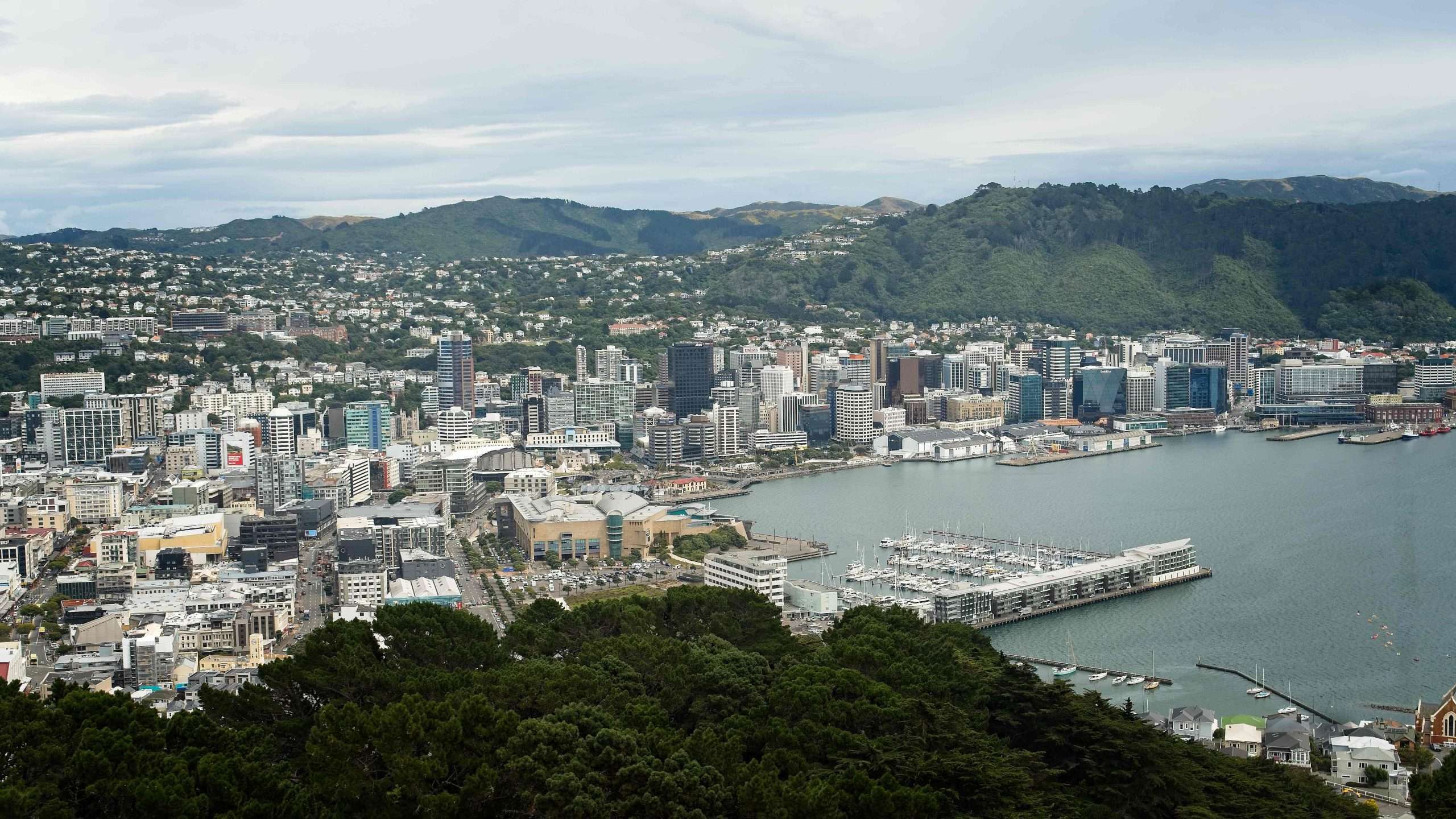
Lastly we spent five days in downtown Wellington, in a hotel that we later learned was directly astraddle the fault which has produced a number of major quakes, including the biggest one ever recorded in NZ, in 1855, that measured 8.2 and uplifted land as much as 6 metres. To get from the front to the rear entrances of the hotel, you had to take an elevator several floors! And we were on the 22nd floor, which in retrospect I probably wouldn’t do again.
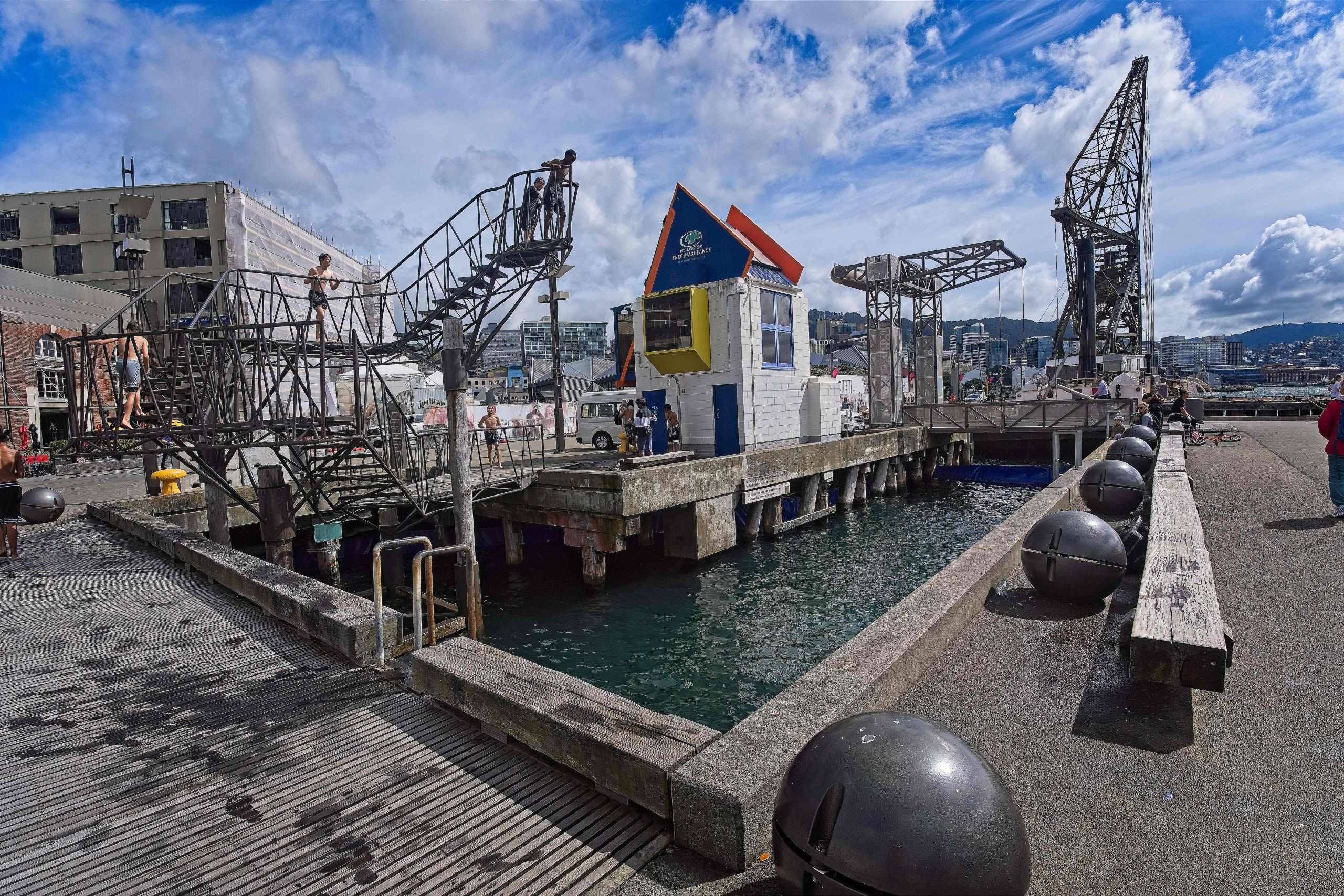
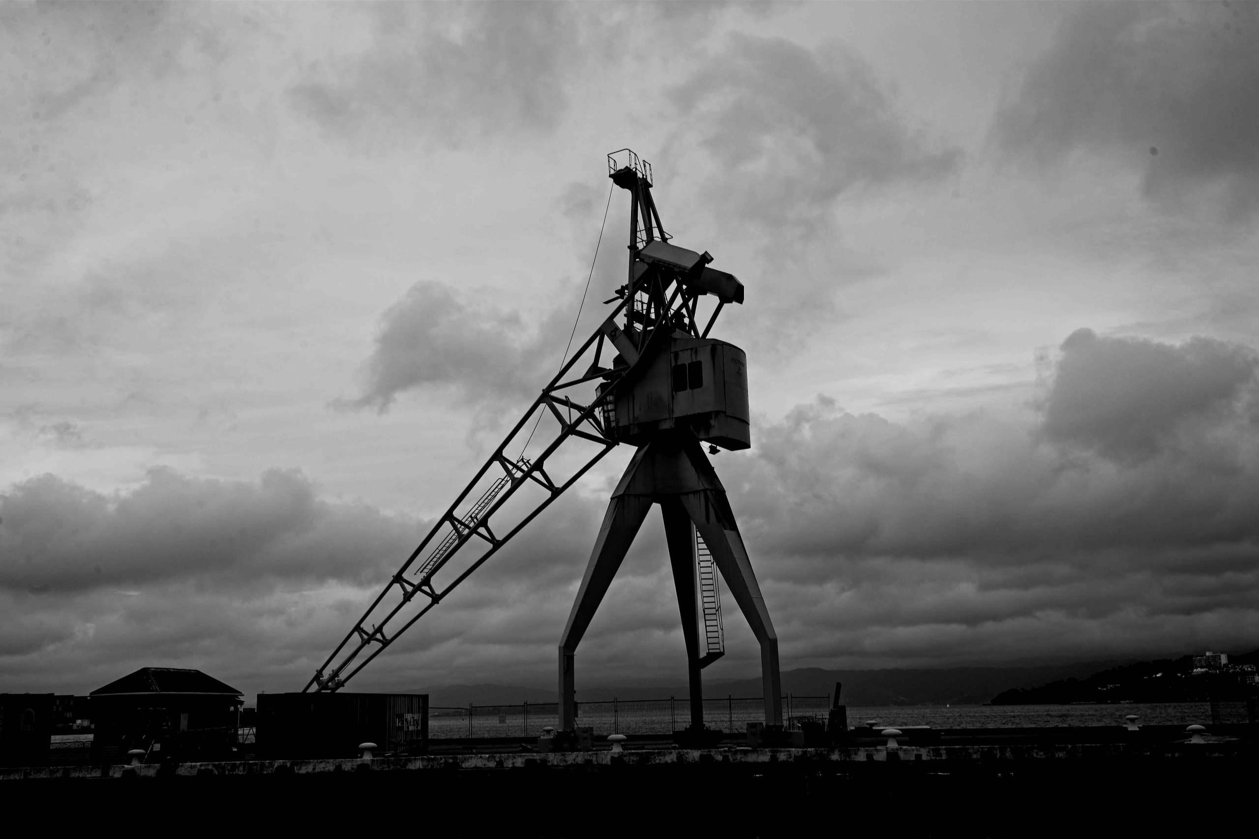
We also visited Wellington harbour frequently.
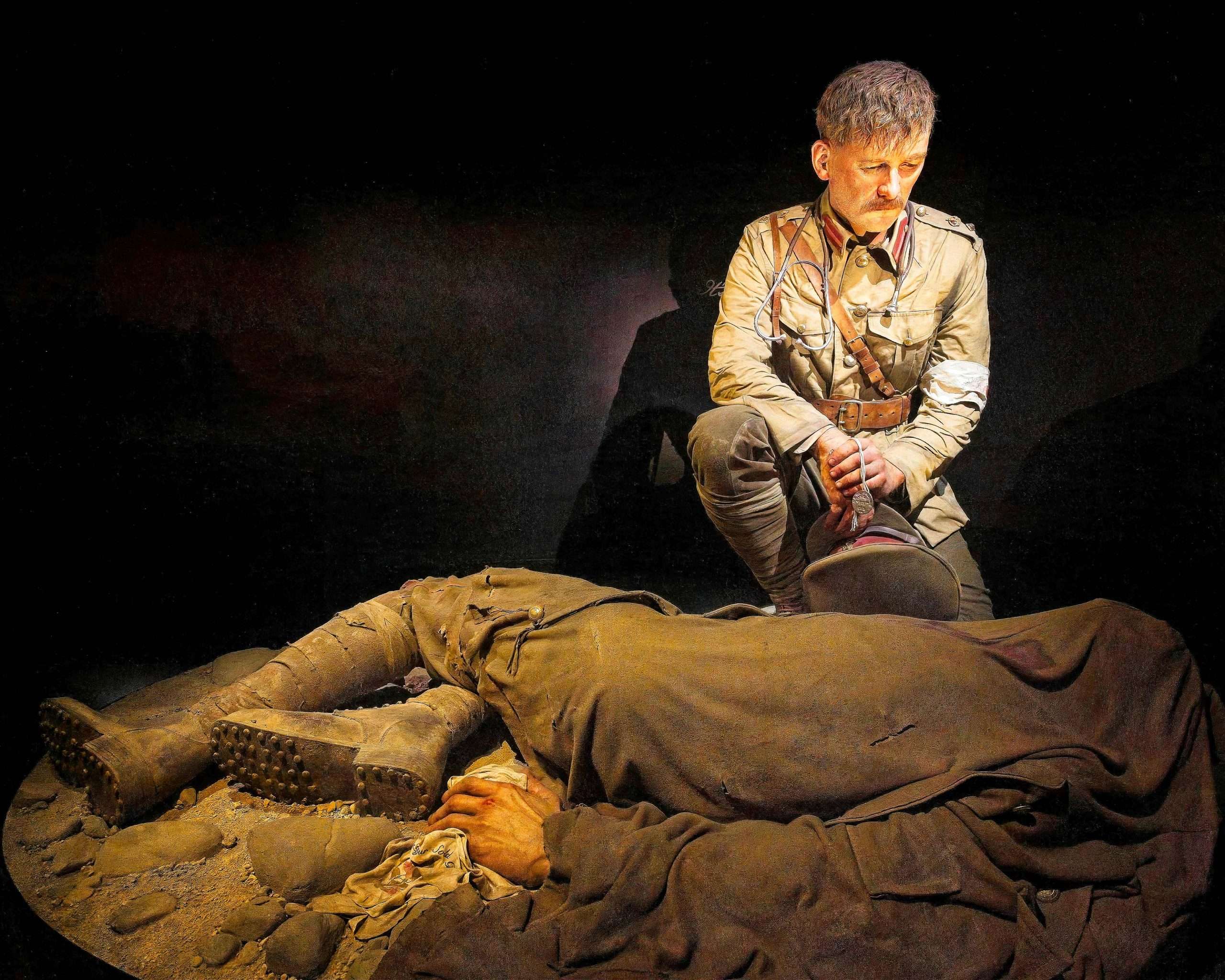
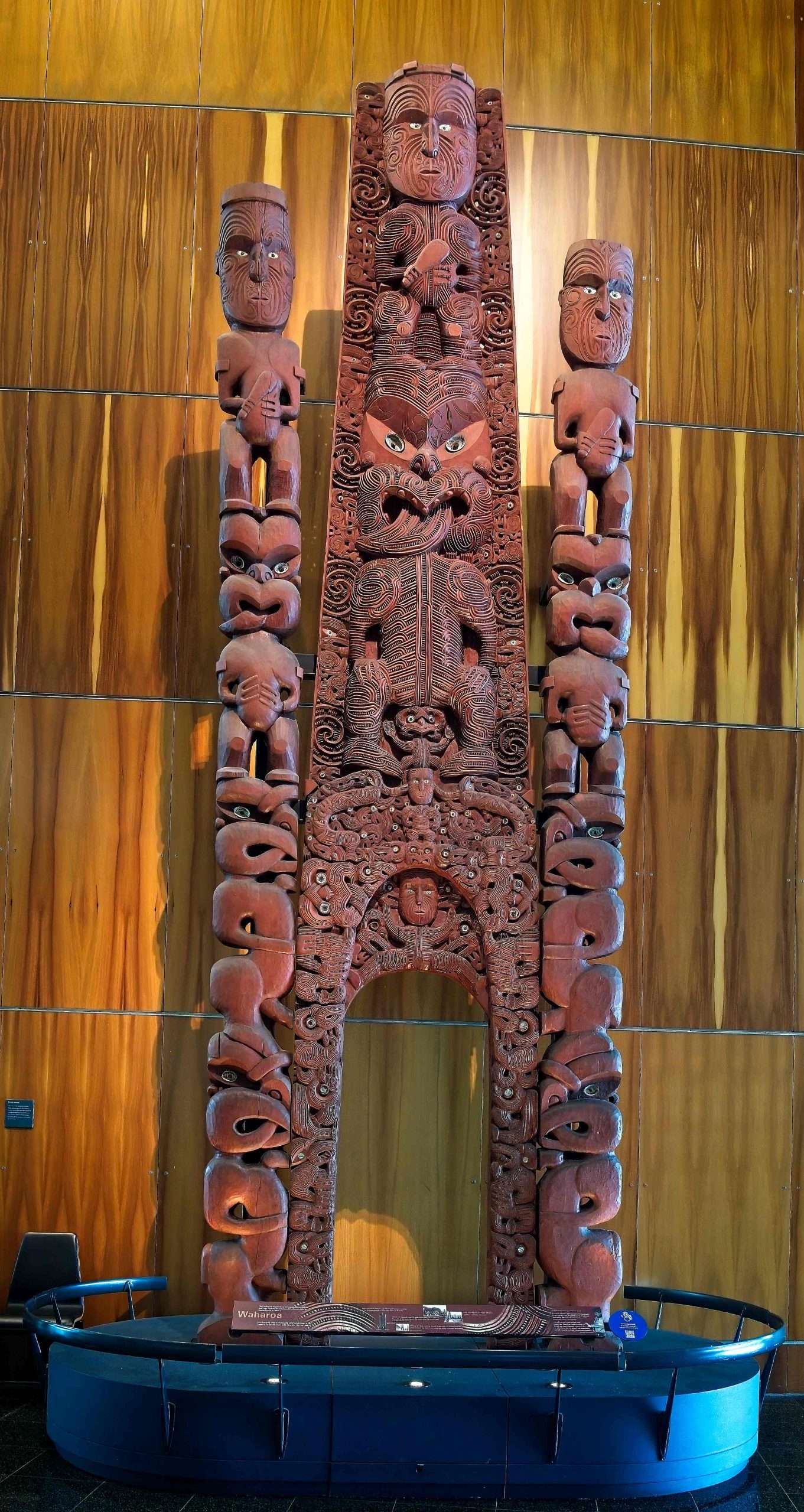
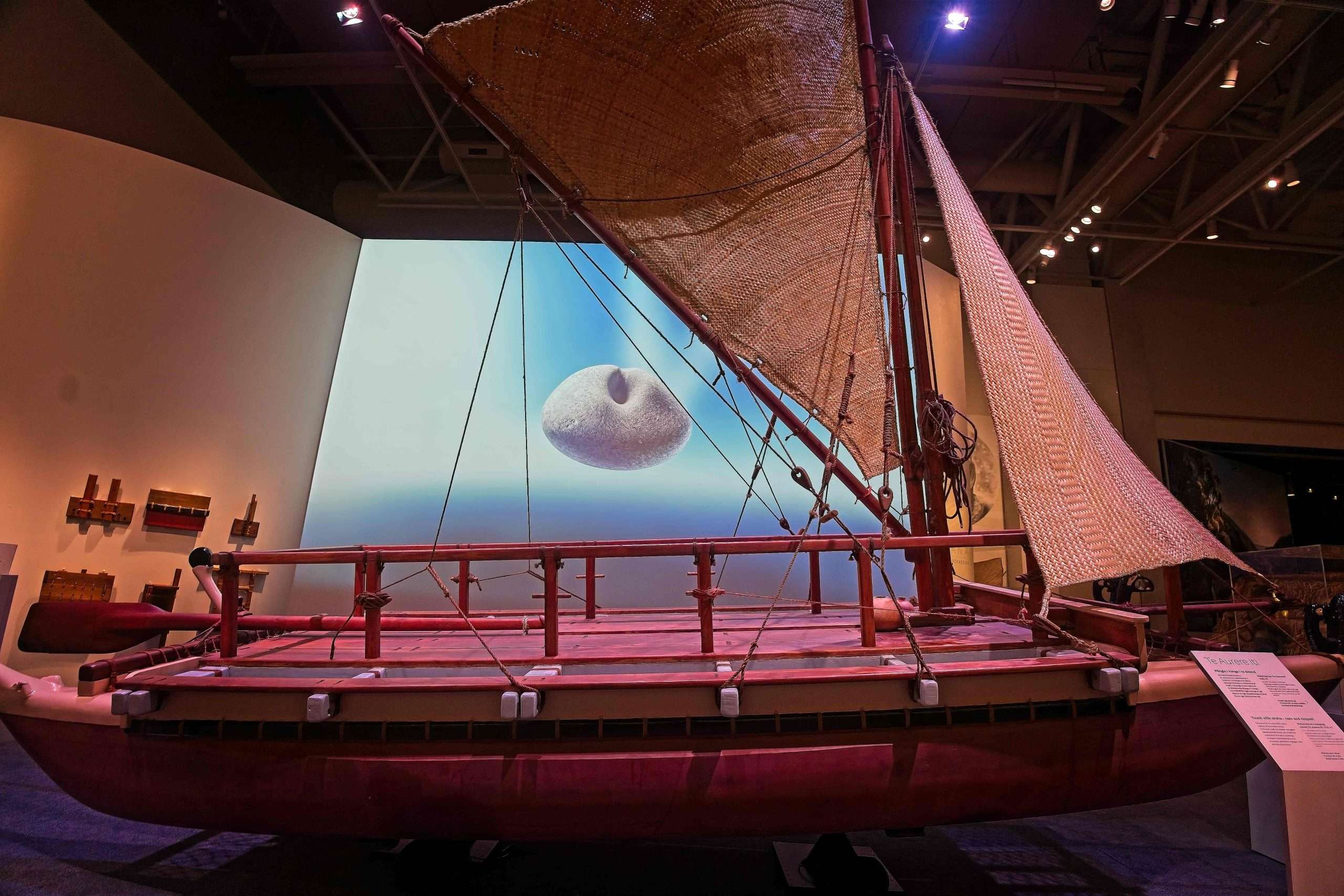
The crown jewel of the harbour is Te Papa Togarewa, the Museum of New Zealand. There was a wrenching exhibition about the ill-fated Gallipoli expedition of WWI, as well as many Maori displays, including a new exhibition of the great seafarers. Imagine crossing the mighty Pacific Ocean in such a small boat!